


NATURE AND WILDLIFE · BANAT
Bigăr Waterfall

Caras Severin, Caraș-Severin County
Add location to your trip planner.

Practical access information

VISITING HOURS
Mon: 12:00–17:00 · Tue–Sun: 09:00–17:00 (summer until 20:00)

TICKET PRICE
Adults: 45 RON · Students: 11 RON · Seniors: 23 RON · Guided tour included

RECOMMENDED VISIT DURATION
2–3.5 hours
Visitor information and guide
 Navigate with Google Maps

ABOUT BIGĂR WATERFALL
A Waterfall on the 45th Parallel — Introduction and Universal Value
There are places in the world where nature seems to have been designed by an artist, not left to the chance of some random geological process. Bigăr Waterfall, situated on the Miniș Valley, in the southern Anina Mountains of Caraș-Severin County, is one of those places. Here, a powerful underground spring — Izbucul Bigăr — emerges from beneath a cliff over fifty meters high, flows through open air for only about two hundred meters, and then plunges into the Miniș River not with the deafening roar of a massive waterfall, but as a fine veil, unraveled into thousands of thin threads, over a dome of calcareous tufa dressed in a green, living carpet of moss. The uniqueness of this spectacle — water trickling in shimmering rivulets over a "mushroom" of stone covered in moss — led the American publication The World Geography to rank Bigăr Waterfall first in a 2013 list of the world's most impressive unique waterfalls. Three years earlier, in September 2010, the international travel guide National Geographic Traveller – Romania had introduced the waterfall to the foreign specialist press for the first time, while the Huffington Post wrote about it as "a place torn from fairy tales," comparing it to an image from the film "The Little Mermaid."
A geographical detail adds symbolic dimension to the visit: the waterfall lies exactly on the 45th parallel north, the imaginary line that, in popular perception, marks the halfway point between the Equator and the North Pole. On the Anina–Bozovici route, on national road DN57B, a sign on the right side of the road — "Paralela 45 – Popasul turistic Bigăr" (45th Parallel – Bigăr Tourist Stop) — announces to the traveler that they have arrived at this special point on the continent. The same parallel crosses Europe from west to east, passing near Bordeaux, through northern Italy — the city of Turin lies almost exactly on it — and over the Croatian Adriatic coast, where the city of Senj preserves a monument dedicated to this geographical landmark; in North America, the 45th parallel was considered as a border between New York and Québec in the Webster–Ashburton Treaty of 1842. Bigăr thus shares, in a symbolic sense, the same "half of the world" with the most civilized cities of Europe.
The waterfall is not merely a photographic curiosity. It lies within the Izvorul Bigăr Nature Reserve — a protected area of national interest covering 176.60 hectares, classified in IUCN category IV, declared by Law no. 5 of March 6, 2000 — and is part of the Cheile Nerei–Beușnița National Park, one of the wildest and best-preserved parks of the Carpathians. Since 2017, over 4,200 hectares of ancient beech forest from this park — the southernmost and among the lowest beech forests included in the World Heritage — were inscribed by the UNESCO World Heritage Committee, in Kraków, in the serial site "Ancient and Primeval Beech Forests of the Carpathians and Other Regions of Europe." Thus, the one who stops at Bigăr finds themselves simultaneously before a waterfall unique in the world and at the gates of a natural heritage universally recognized by UNESCO — a double value that places this corner of Mountainous Banat on the map of Europe's great natural destinations.
Roots in the History of Europe: Banat, Empires, and a Military Frontier
To understand why this valley of Banat hides such wonders, one must look back several centuries. The Anina Mountains are part of the Banat Mountains, the western branch of the Carpathians, and their limestone relief belongs, on a geological scale, to the karst belt of the Dinaric Alps — stretching from northeastern Italy, across Slovenia and Croatia, along the eastern Adriatic coast. The word "karst" itself comes from the Kras plateau in Slovenia, and terms such as "polje," "doline," or "ponor," so familiar to cave enthusiasts, entered the international scientific vocabulary starting from research on this phenomenon in the western Balkans. The Miniș Valley, with its petrifying springs, dolines, lapiezures, caves, and ponors, is the local expression of the same process that built the famous lakes of Plitvice — a Croatian national park inscribed in the UNESCO heritage since 1979 — or the Krka River gorge. The waters rich in calcium carbonate, emerging at the surface through springs, continuously deposit travertine, that porous and light rock which, over centuries, raised the thresholds at Plitvice and, on a more modest but equally spectacular scale, the moss-petrified dome of Bigăr.
Historically, the region where the waterfall is located was for centuries a border zone between the great empires of Europe. In the Middle Ages, Banat was part of the Kingdom of Hungary, organized into the so-called "banates" — the Banat of Severin, the Banat of Lugoj-Caransebeș — led by a "ban," with a role of march in the anti-Ottoman defense system. After the disaster of Mohács in 1526 and the fall of Timișoara in 1552, the region came under Ottoman rule for nearly two centuries, as part of the Eyalet of Temeșvar. The paradigm shift occurred following the Austro-Turkish wars: after Prince Eugene of Savoy's decisive victory at Petrovaradin (August 5, 1716) and the conquest of Belgrade (1717), the Treaty of Passarowitz, signed on July 21, 1718, ceded Banat to the Habsburg Empire. The province became a "Crown Land" with special status, administered directly from Vienna: first militarily (1718–1751), then civilly (1751–1778), until, in 1778, it was ceded to Hungary.
For Vienna, Banat was a strategic node on the border with the Ottoman Empire, at the intersection of trade routes to the Balkans, and this position profoundly shaped the region. Between 1768 and 1774, Empress Maria Theresa created here the Banat Military Frontier (Confiniu or "Krajina"), an administrative-military border structure tasked with defense against the Ottomans — part of a larger system, the Habsburg Military Frontier, which stretched along the entire southern edge of the empire, from the Croatian Krajina to Transylvania. The lands in the south and east of Banat, including the mountain area where the Miniș Valley is located, were militarized: peasants fit for arms formed border guard regiments, and Caransebeș was included in the military frontier in 1783. This organization left deep traces in the social structure of the region and contributed, paradoxically, to the preservation of a nobility and free Romanian communities in an era when Ottoman pressure was still present south of the Danube. The Banat Military Frontier functioned until 1872, when the border guard regiments were disbanded, and Banat remained part of Hungary within the Austro-Hungarian Monarchy until 1918, when, by the decision of Alba Iulia, it united with Romania.
The European Industrial Revolution also reached these mountains. At the end of the 18th century, important coal deposits were discovered in the Anina area, and exploitation began between 1771 and 1778, at Anina, Doman, and Secu — the first coal mines on the territory of present-day Romania. In the summer of 1773, the first families of Austrian colonists founded the workers' colony of Steierdorf (today a district of Anina), and the coal from Banat fed the furnaces and factories of Reșița, the steam locomotives and Danube steamships throughout Central Europe. For the transport of coal to the Danube port of Baziaș, the Austrian company St.E.G. (Südbahn) built between 1846 and 1854 the Oravița–Baziaș railway — the first railway on the territory of present-day Romania — and later, between 1856 and 1863, the spectacular mountain line Oravița–Anina, inaugurated for freight in 1863 and for passengers in 1869. With its 33–34 kilometers, with viaducts and tunnels climbing nearly 340 meters of elevation difference, this line — nicknamed the "Banat Semmering" after the famous Semmering railway in Styria, built between 1845 and 1854 and itself inscribed in the UNESCO heritage — is the oldest mountain railway in Romania and a class A historical monument. Oravița hosts the country's oldest railway station and Romania's oldest theater, the Old Theater "Mihai Eminescu," witnesses to an era when Mountainous Banat was one of the most dynamic industrial centers of the Austrian Empire. Also here, at Bozovici, was born in 1817 the Austrian major general Gideon von Krismanic, a figure of the imperial army, reminding us that these valleys fed, equally, shepherds, miners, and officers of a multinational Europe.
The Masterpiece of Karst: From the Siphon Spring to the Veil of Calcareous Tufa
The phenomenon underlying the entire ensemble is an izbuc — a Romanian term that entered international scientific literature to designate the place where an underground watercourse suddenly emerges at the surface after traversing a cave. Izbucul Bigăr is fed by an underground river that crosses the Bigăr Cave (Grota Bigăr) in the Anina Mountains; approximately five kilometers to the north, the Golâmbu stream disappears into a ponor — a "sinkhole," as it is called locally — and reappears at the surface exactly here. The spring has intermittent activity and functions on the siphon principle, just as the famous Fontaine de Vaucluse in Provence, France, gives its name to the entire category of "Vaucluse-type springs": water accumulates in a karst void until it reaches the level of the siphon elbow and suddenly bursts into the light. The word "izbuc" itself comes from "a izbucni" (to burst forth).
From the exit mouth — located beneath a cliff over fifty meters high — to the fall, the Bigăr stream has only about two hundred meters to travel. There, the water, rich in calcium carbonate dissolved from the Mesozoic limestones of the mountains, meets a rocky threshold of approximately eight meters and pours into the Miniș River. Here the geological miracle occurs: calcium carbonate deposits on the carpet of moss, petrifying it, while the moss regenerates with new living layers, so that the waterfall — a dome of calcareous tufa seven to eight meters high, completely covered in moss — grows permanently in size and weight. For generations, water has flowed over this dome in thousands of thin, shimmering threads, creating the effect of a green silk veil, in which the sun's rays ignite small rainbows in the fine mist of the water on summer days. The colors change with the daylight, and in winter the entire fall freezes, transforming into a "crystal palace" in which the mirror of the water seems to preserve the face of a maiden — as the local legend says.
The waterfall also bears a second name, Coronini Waterfall, formerly named after Johann Baptist Coronini-Cronberg, governor of Banat in the 19th century, in the era when the Habsburg administration left its mark on the entire region. Photographs from the early 20th century show it under this name, with its "mushroom" shape of limestone suspended above the Miniș riverbed.
The Izvorul Bigăr Reserve harbors an entire ecosystem: a hilly area with springs, gorges, limestone cliffs, valleys, lapiezures, dolines, ponors, caves, avenas, clearings, and meadows. The fauna includes brown bears, lynxes, wolves, and foxes, while the flora is representative of the mountain groupings of the Banat Mountains: common walnut, Turkish hazel (Corylus colurna), yew (Taxus baccata), butcher's broom, and Banat peony, alongside endemics such as autumn crocus (Crocus banaticus), Banat pink, or shepherd's thistle (Echinops bannaticus). The waters of the Miniș flow toward the Nera, the Nera empties into the Danube, and the Danube into the Black Sea — so that every thread of water from the waterfall completes its European journey in the river delta of the continent's most international river, itself a UNESCO heritage.
Legends, Personalities, and Turning Points
Every truly special place weaves its own stories over time, and Bigăr is no exception. The best-known legend speaks of a peasant family from the Almăj Valley who could not have descendants. One night, the woman dreamed of a witch, who told her that if she drank water from the spring "between the two worlds," the one beneath the cliff, she would have a child — and that if it were a girl, she should not let her fall in love, for she would find her death. Another romantic tale, equally widespread, says that a beautiful young woman would have transformed into the waterfall itself, from unreturned love. A third tradition links the name of the place to a shepherd named Bigăr, who, after a tragically ended love story, would have fallen from the cliff. These accounts belong to local folklore, have no documentary historical basis, but contribute to the mysterious aura of the place — the same aura that the international press sensed when it compared the image of the waterfall to a scene torn from a fairy tale. In winter, when the fall freezes, locals see in the mirror of the water "the face of the maiden from the Crystal Palace"; in summer, rainbows appear in the mist of the waterfall that seem to descend from heaven; in autumn, rust-colored leaves catch like flowers in the unraveled threads of the water veil.
Beyond legends, the recent history of the waterfall knows a dramatic turning point. On the evening of June 7, 2021, around 6:15 PM, a part of the travertine wall — a slab of approximately four meters — detached and collapsed under its own weight. The explanation, offered by Romsilva — the National Forest Administration, administrator of the park — is a profoundly natural one: calcium carbonate continuously petrifies the carpet of moss, which regenerates with new layers of living moss, so that a waterfall of this type grows permanently in dimensions and weight, until, at a certain moment, the structure gives way. Romsilva rejected the accusations of a local guide and environmental activist, who claimed that the collapse would have been provoked by the partial capture of the spring water for the Valea Minișului trout farm — a work carried out between 1986 and 1988. On the contrary, the institution showed that if the carbonated water had not been partially diverted to the trout farm, even greater quantities of calcium carbonate would have been deposited from it, and the slab, much heavier, would have collapsed even earlier. The event was not unique in the area: only a few years before, the Moceriș Waterfall had collapsed following an identical phenomenon. A geologist from the National Agency for Mineral Resources explained then with clarity: "The waterfall was like a mushroom — travertine grows year by year, the weight increased annually, because limestone was being deposited. And at a certain moment, due to the weight — the law of gravity — very simply, it collapsed."
The park administration's decision was not to intervene with invasive measures — no construction to support the travertine structure — since the waterfall is located in the strict protection zone of the park, where natural processes must unfold freely. And nature followed its course: specialists announced as early as 2021 that "a waterfall of this type grows permanently in dimensions" and that "it will regenerate over time." And so it happened: the green moss over which the water flows grew back spectacularly, so much so that, four years after the collapse, in 2025, it is difficult to tell where the break occurred; the access footbridge was rebuilt in 2025, and the waterfall, although it no longer preserves the shape that made it famous, remains an objective in full natural regeneration and still spectacular. The number of visitors, however, fell to less than half compared to the period before the incident — in 2025, Bigăr and Ochiul Beiului together received about 22,000 tourists — which, paradoxically, offers today's traveler the chance to contemplate a wonder of nature in a tranquility that the crowding of peak years had made impossible.
Practical Visiting Guide and the Experience of Today's Tourist
Bigăr Waterfall is located on the Miniș Valley, in the Miniș Gorges — a defile of approximately 14 kilometers, the third longest in Romania, after the Nera Gorges and the Caraș Gorges — at the halfway point between the town of Anina and the commune of Bozovici, on national road DN57B. Access is by car: from Anina, on the Anina–Poneasca–Valea Minișului route, following the road only as far as the waterfall, before the village of Bozovici; the sign "Paralela 45 – Popasul turistic Bigăr" (45th Parallel – Bigăr Tourist Stop), located on the right side of the road, announces the arrival. One can also arrive from Oravița, through Marila, or from European route E70, through Iablanița and Bozovici. The waterfall is only a few meters from the road, in a developed rest stop, and the visit itself lasts ten to fifteen minutes — enough to leave the car, descend to the water, and admire the moss veil. About ten minutes' walk away is also the Bigăr Cave, the cave through which the underground river emerges into the light, and nearby stretches the Valea Minișului trout farm.
Visiting the national park is done for a modest fee — around 5 lei per person, with discounts for pupils, students, and pensioners — paid at the access points, and the rules are those of a protected area: only on marked trails, no fires and camping outside designated places, children under 14 only accompanied by adults, hunting and fishing prohibited. The ideal time of day is early morning or late afternoon, when the oblique light reveals the velvety texture of the moss and ignites the rainbows in the mist; in summer, the green intertwines with the pure blue of the water; in autumn, the rust colors are reflected in the water veil; in winter, the frozen waterfall becomes a crystal palace that seems to preserve, in its mirror, the legendary face of the maiden. Late spring and early summer are the best periods, when the spring's flow is generous and the moss carpet is in full vigor.
The wise traveler does not stop, however, at ten minutes of contemplation. Bigăr is the gateway to an entire universe of Mountainous Banat. A few kilometers away, deep in the Cheile Nerei–Beușnița National Park, awaits Lake Ochiul Beiului — a karst lake of only 3.6 meters depth, at 310 meters altitude, with unreal turquoise waters that never freeze, maintaining a constant temperature of 4–8 degrees, surrounded by ancient beech forests inscribed in the UNESCO heritage; the Beușnița Waterfall, with its terraces of travertine and moss and a fall of over 30 meters; Lake Dracului (Devil's Lake), the largest karst lake in Romania, formed by the collapse of a cave ceiling, with waters 12 meters deep in a wild depression; and the Nera Gorges, the longest gorges in the country, with over 20 kilometers of defile, tunnels carved into the rock, and paths suspended above the water. At approximately 20 kilometers from Bozovici, on the Rudăria Valley in the commune of Eftimie Murgu — named after the 1848 revolutionary — stretches the Rudăria Mulinological Complex, the 22 functional water mills, the largest ensemble of its kind in southeastern Europe, included in the UNESCO heritage, where peasants still grind corn and wheat "as in the time of the Dacians." And if the road leads further, Anina preserves the memory of a vanished world — the anthracite mine, the Steierdorf colony, the mining museum — while at Oravița, at the end of the "Banat Semmering," the oldest railway station and the oldest theater in Romania recall the era when these valleys connected Banat to all of Central Europe, on the railway tracks of the Austrian Empire.
Situated on the 45th parallel, at the border between two worlds — that beneath the cliff and that above it, between stone and water, between the imperial past of Banat and the present of a European national park — Bigăr Waterfall remains what it has always been: a place where water, limestone, and moss have built, over centuries, a masterpiece that no architect could have drawn better. A stop of a quarter of an hour, perhaps. But a memory for a lifetime.
Media gallery
Discover Bigăr Waterfall in pictures

7 photos · Architecture, courtyards and captivating details


Image source: Wikimedia Commons · Public domain photos · Free license
STAY A FEW DAYS, DISCOVER THE MAGIC
Stays near Bigăr Waterfall

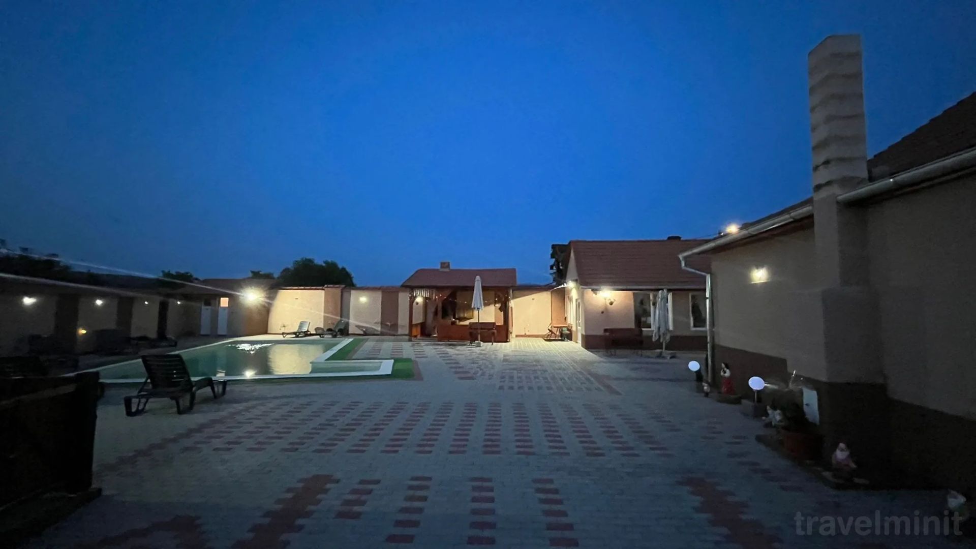
Pensiune · 2 stars

Bozovici, Bozovici County · 9.5 km
Pensiunea La Nety Bozovici
Camere, serviciiPensiunea La Nety Bozovici Bozovici ofera 6 camere dotate cu bun gust. Oaspetii au la dispozitie parcare gratuita. Oaspetii au la dispozitie servicii wellness la pensiune. Pentru mai multe informatii studiati pagina de date. Va puteti conecta la internet prin reteaua wireless disponibila in pensiune Mai multe informatii despre serviciile unitatii de cazare (inclusiv cele contra cost) si despre dotarea camerelor gasiti in fisa de mai jos. Servicii de masăTarifele afisate nu contin masa. PlatăPlata serviciilor se poate efectua prin urmatoarele modalitati: transfer bancar, card de vacanță, avans travelminit, voucher travelminit. Rezervarea devine ferma numai dupa efectuarea platii unui avans de 30%. Sosire, programPrimirea camerei se face incepand cu ora 13:00 si eliberarea camerei se face pana la ora 12:00. La receptie se vorbeste limba română.
FROM
190 RON / night

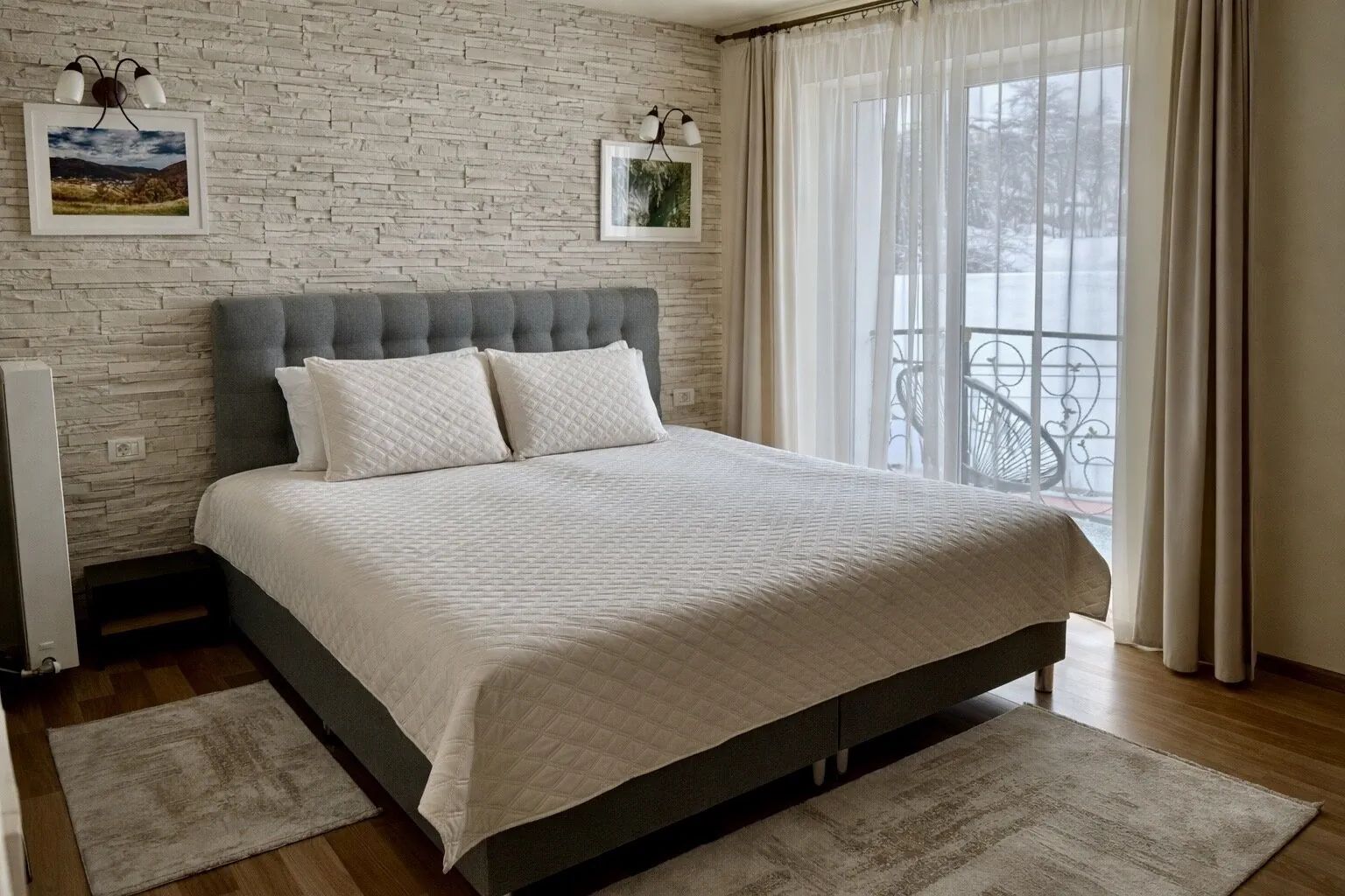
Pensiune · 3 stars
Anina, Anina County · 10.9 km
Pensiunea Munții Aninei Anina
Pensiunea Munții Aninei este situată în inima Banatului Montan, într-o zonă liniștită din orașul Anina, aproape de principalele atracții turistice ale regiunii. Unitatea oferă camere confortabile și luminoase, amenajate într-un stil simplu, curat și relaxant, potrivite atât pentru cupluri, cât și pentru familii sau grupuri de prieteni. Unele camere dispun de balcon cu vedere spre natură. Oaspeții se pot bucura de restaurant, terasă, grădină, ciubăr exterior ( contra cost ) într-o atmosferă calmă, departe de agitația orașelor mari. Zona este ideală pentru drumeții, plimbări în natură, ciclism și explorarea obiectivelor turistice din Banatul Montan: Cheile Nerei, Lacul Ochiul Beiului, Cascada Bigăr, Lacul Buhui , Peștera Comarnic , Cheile Carașului sau traseele montane din împrejurimi. Pensiunea este potrivită pentru cei care caută liniște, aer curat și câteva zile de relaxare autentică în mijlocul naturii.
FROM
240 RON / night
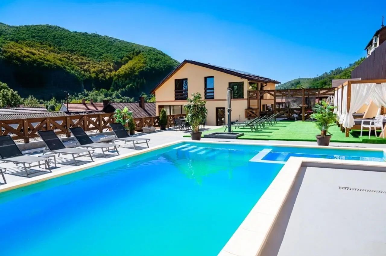
Casă de Vacanță · 3 stars
Anina, Anina County · 13.0 km
Casa de oaspeți Clim Anina
Camere individuale cu baie proprie, terasa de vara, loc de joaca pentru copii,Zona centala,in apropierea muzeului local
FROM
280 RON / night
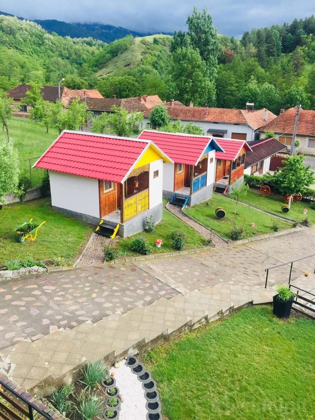
Pensiune · 3 stars
Prigor, Prigor County · 14.5 km
Pensiunea Prigorel Prigor
Camere, serviciiPensiunea Prigorel Prigor Prigor va asteapta cu 10 camere amenajate cu bun gust si confortabile. Sunt primiti cu o deosebita placere atat clientii, cat si animalele acestora de companie (contra cost). Oaspetii au la dispozitie parcare gratuita. Oaspetii au la dispozitie servicii wellness la pensiune. Pentru mai multe informatii studiati pagina de date. Unitatea este prevazuta cu internet wireless. Pentru a obtine mai multe detalii despre facilitatile locatiei (inclusiv cele contra cost) si despre dotarile camerelor, va rugam consultati fisa de mai jos. Servicii de masăPreturile afisate nu includ masa. La efectuarea rezervarii se poate comanda urmatoarele tipuri de masa: mic dejun, fără servicii de masă, demipensiune. PlatăPlata se poate efectua prin urmatoarele modalitati: numerar, transfer bancar, card de vacanță, avans travelminit, voucher travelminit. Rezervarea devine ferma numai dupa efectuarea platii unui avans de 30%. Sosire, programIntrarea se face incepand cu ora 14:00 si iesirea pana la ora 12:00. Personalul de la pensiune vorbeste limba: engleză, germană, română.
FROM
240 RON / night
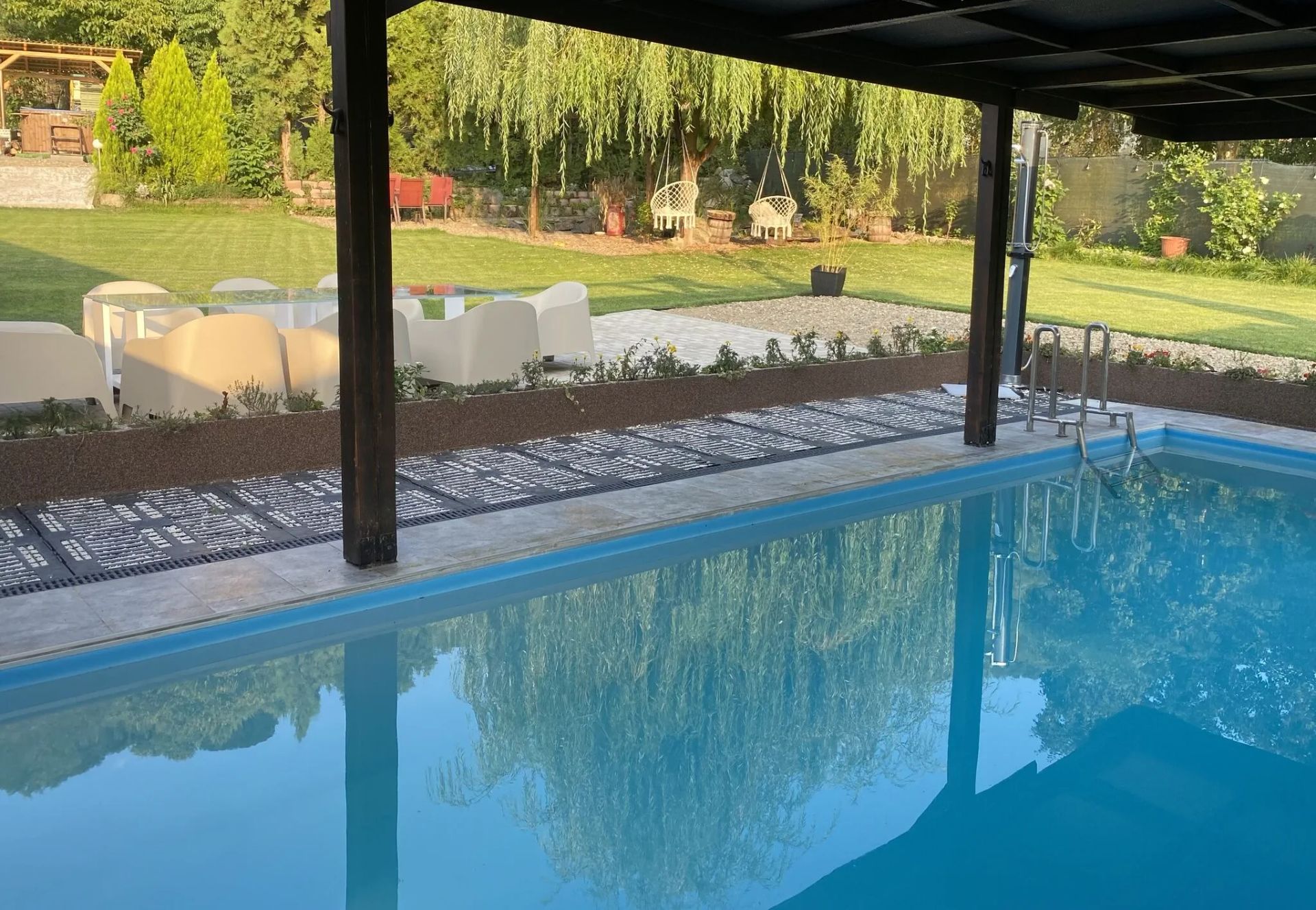
Pensiune · 3 stars
Eftimie Murgu, Eftimie Murgu County · 18.0 km
Pensiunea Danieli Eftimie Murgu
Situată în zona pitorească a Morilor de apă de la Rudaria, la intrare pe valea morilor , pensiunea dispune de 4 spații de cazare , piscina încălzită și închisă, ciubăr, loc de joacă pentru copii, masă de tenis outdoor, multiple spații de relaxare , barbecue pe gas și cărbune , living spațios și bucătărie integral dotată. Alături de dumneavoastră pot fi și animăluțele iubite, care pot socializa cu ale noastre, două fetițe Golden , un Yorkshire, patru pisici , trei broaște țestoase, peștii din iaz și papagalul Coco. La 10 metri distanță de pensiune se află restaurantul și terasa La Maya, unde pot fi servite preparate locale.
FROM
240 RON / night
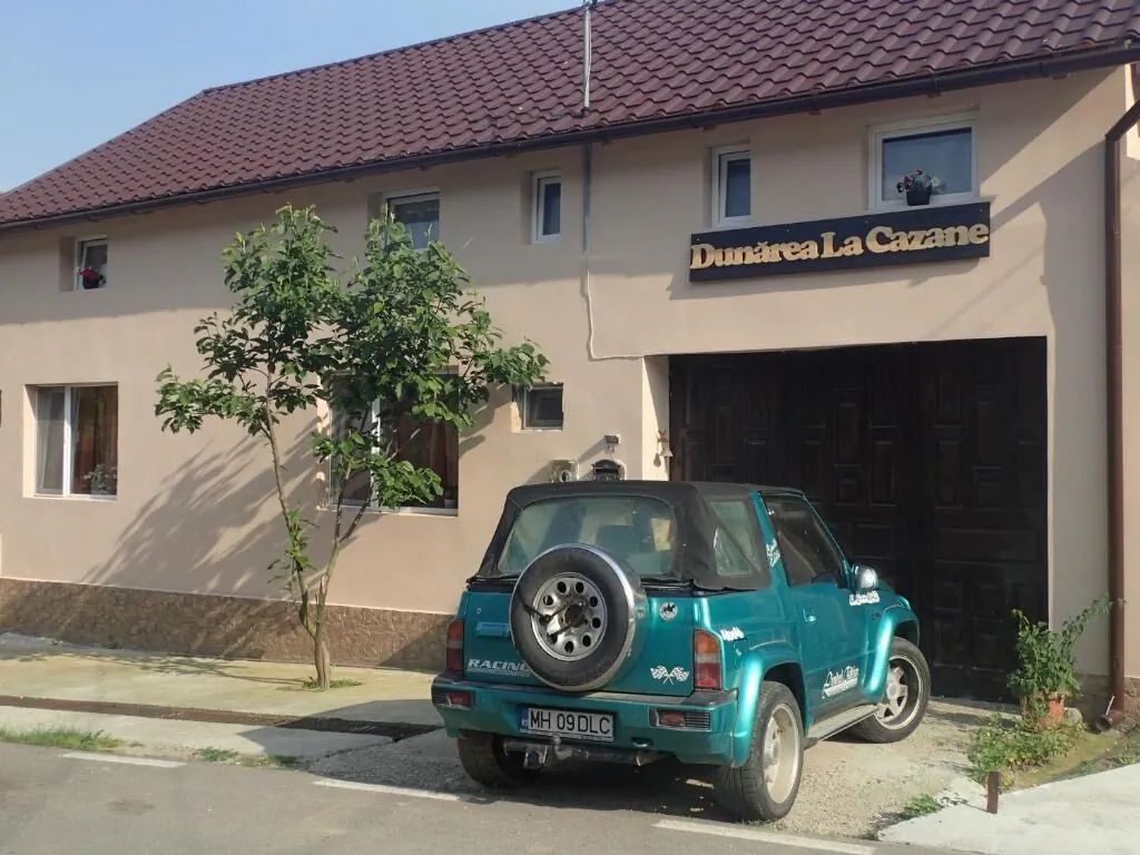
Casă de Vacanță · 2 stars
Dubova, Dubova County · 18.9 km
Casa de oaspeți Dunarea la Cazane Dubova
Camere, serviciiCasa de oaspeți Dunarea la Cazane Dubova Dubova ofera 7 camere confortabile si placut amenajate. Exista parcare privata gratuita. Locatia ofera cateva camere prevazute cu aer conditionat. (Pentru mai multe informatii consultati la fiecare tip de camera rubrica "detalii"). Accesul la internetul wireless este disponibil la unitatea de cazare. Mai multe detalii despre facilitatile oferite la casă de oaspeți (inclusiv cele contra cost), cat si despre dotarile camerelor veti gasi mai jos. Servicii de masăPreturile afisate nu includ masa. PlatăPlata rezervarii se poate face cu/prin: numerar, card bancar, transfer bancar, card de vacanță, avans travelminit, voucher travelminit. Pentru garantarea ferma a rezervarii se solicita un avans de 100%. Sosire, programZiua hoteliera incepe de la ora 15:00 si se termina la ora 11:00. Personalul de la casă de oaspeți vorbeste limba: engleză, română.
FROM
280 RON / night
BEFORE YOU HIT THE ROAD
Weather conditions in Caras Severin
Local forecast for Bigăr Waterfall, Caras Severin, Caraș-Severin

Real-time updated weather data
Much more to explore in this area
Nearby tourist attractions


Dubova, Mehedinți County
The Iron Gates Gorges and the Face of Decebalus
Se afla intre Valea Ogradena si Paraul Ogasul Turcului, in perimetrul localitatii Dubova, intre versantii abrupti pe care ii desparte Dunarea, formand niste...
48.0 km

Caras Severin, Caraș-Severin County
Parcul Natural Porțile de Fier
Este situat in judetele Caras-Severin si Mehedinti, ocupand partial teritorii apartinand judetelor Caras-Severin si Mehedinti in partea sudica a Muntilor...
24.8 km

Caras Severin, Caraș-Severin County
Lacul Ochiul Beiului
Se afla in Parcul National Cheile Nerei Beusnita, protejat de muntii Aninei si Locvei; se spune ca aceste locuri au fost stapanite de un pasa hain care avea un...
15.3 km

Caras Severin, Caraș-Severin County
Parcul Național Domogled Valea Cernei
Se intinde pe suprafata a 3 judete - Caras-Severin, Mehedinti si Gorj, peste bazinul raului Cerna, de la obarsie pana la confluenta cu raul Belareca, peste...
42.6 km

Caras Severin, Caraș-Severin County
Stațiunea Băile Herculane
Situata pe Valea Cernei, la 5 km de principala artera rutiera ce leaga vestul tarii de Bucuresti si calea ferata internationala Bucuresti - Timisoara -...
38.1 km

Caras Severin, Caraș-Severin County
Cheile Nerei
Cheile Nerei sunt situate de-a lungul raului Nera, intre localitatile Sopotul Nou si Sasca Montana;Cheile Nerei sunt cele mai lungi din tara, intinzandu-se pe...
21.1 km

Caras Severin, Caraș-Severin County
Cheile Rudăriei
Situate in zona muntoasa a judetului Caras Severin, pe raza localitatii Eftimie Murgu (fosta Rudaria);accesul se face de pe drumul E70 Caransebes - Oravita, pe...
19.7 km

3.5 km

Caras Severin, Caraș-Severin County
Parcul Național Cheile Nerei - Beușnița
Este situat in sud-vestul tarii in judetul Caras-Severin acoperind intreaga zona sudica a Muntilor Aninei si o parte din zona nordica a Muntilor Locvei; in...
8.8 km

Caras Severin, Caraș-Severin County
Rezervația mulinologică Rudăria
Situata pe Valea Rudariei, din satul Eftimie Murgu; cuprinde un numar de 22 de mori cu ciutura, asezate de-a lungul cursului apei, pe o lungime de 3 km, o...
17.2 km
19.3 km
48.9 km
Cultural life and traditions
Events near Bigăr Waterfall
Medieval festivals, traditional fairs, concerts and recommended local activities in Banat.

Tradiții și Meșteșuguri

Caras Severin, Jud. Caraș-Severin
Zilele Culturii Locale și Turismului Tradițional
Ateliere deschise de olărit, sculptură în lemn și folclor autentic prezentate de meșteri populari locali.
WHEN
15 - 17 Mai 2026


Gastronomie Tradițională
Caras Severin, Jud. Caraș-Severin
Târgul Produselor Tradiționale și al Gastronomiei Locale
Produse atestate tradițional, brânzeturi maturate, miere de munte și bunătăți locale pregătite după rețete străvechi.
WHEN
În fiecare final de săptămână

Cultură și Fotografie
Caras Severin, Jud. Caraș-Severin
Tur Ghidat Tematic și Fotografic de Patrimoniu
Explorare ghidată dedicată iubitorilor de istorie, natură și fotografie pe cele mai spectaculoase perspective ale zonei.
WHEN
Program zilnic la cerere
On foot, exploration gains depth
Discover the surroundings and local geography
Explore trails, terrain and natural landmarks around Bigăr Waterfall.

Guides and practical tips
Useful travel articles
Travel guides, practical tips and itineraries for Banat.

Travel guide
Castelul Bran: Istorie, Legende și Secrete Medievale
Află adevărata poveste a fortăreței medievale din Pasul Bran, reședința de suflet a Reginei Maria a României.

Travel guide
Top 5 Atracții Turistice și Trasee Montane în Zona Moieciu - Bran
Descoperă cele mai spectaculoase peisaje carstice, chei adânci și cetăți medievale din imediata apropiere a stațiunii Moieciu.

Travel guide
Ghid de Drumeție: Traseul Moieciu de Sus spre Platoul Bucegi
Un itinerariu montan de o frumusețe rară ce urcă din Valea Băngăleasa spre Poiana Guțanu și crestele maiestuoase ale Bucegilor.
THE JOURNEY STARTS WITH AN IDEA
The next story is on the way.
From the first stop to the last stay, make room for a new Romania.
