


MONUMENT · TRANSYLVANIA
Transfăgărășan Highway and Bâlea Lake

Cârțișoara, Sibiu County
Add location to your trip planner.

Practical access information

VISITING HOURS
Tronsonul de altitudine Piscu Negru - Bâlea Lac - Bâlea Cascadă este deschis oficial între 1 Iulie și 31 Octombrie

TICKET PRICE
Acces rutier gratuit; Telecabina Bâlea Cascadă - Bâlea Lac: 50 RON/sens (adulți), 25 RON/sens (copii)

RECOMMENDED VISIT DURATION
4 - 6 ore (traseu rutier complet cu popasuri)


Visitor information and guide
 Navigate with Google Maps

ABOUT TRANSFĂGĂRĂȘAN HIGHWAY AND BÂLEA LAKE
Transfăgărășan Highway and Bâlea Lake – The Road Among the Clouds, a Symbol of Mountain Europe
Captivating Introduction and Universal Value
There are places on the map of Europe where human engineering meets the grandeur of nature in such a perfect dialogue that the result transcends the boundaries of functionality to become art. The Transfăgărășan, the highway that crosses the heart of the Făgăraș Mountains, is such a place. Along the 151 kilometres of National Road 7C, from Bascov commune near Pitești to the intersection with DN1 between Sibiu and Brașov, the traveller crosses not only the highest mountain range in Romania, but also one of the most spectacular infrastructure achievements in Eastern Europe. With a maximum altitude of 2,042 metres near the tunnel at Bâlea Lake, the Transfăgărășan ranks second in the hierarchy of paved alpine roads in the country, while at the same time being ranked by the car rental company Avis, in a study presented by Euronews Travel, sixth in the top of the most spectacular roads in Europe, surpassing established routes such as the Susten Pass in Switzerland, the Route des Grandes Alpes, or the Col du Tourmalet in France.
What gives this road its universal value, recognised even by personalities such as Jeremy Clarkson, the British presenter who, in the 2009 Top Gear episode, designated it as "the best road in the world", comparing it to the legendary Stelvio Pass in Italy and declaring, at the wheel of an Aston Martin, that "every corner of every great racetrack in the world has been tied together to create this grey, unbroken ribbon of driving perfection". Bâlea Lake, the glacial mirror of the heights, completes this experience with an almost mythical dimension: situated at 2,034 metres altitude, in a glacial cirque protected since 1932 as a scientific reserve, the lake harbours each winter one of the few ice hotels in Eastern Europe, a modern igloo sculpted from ice blocks extracted from its own frozen waters.
For the European traveller, the Transfăgărășan represents a bridge between civilisations and eras: it connects the historical region of Muntenia with Transylvania, territories that, over the centuries, belonged to different state formations – from the medieval Romanian voivodeships, to the Principality of Transylvania as a vassal of the Ottoman Empire, to the Habsburg province and, finally, to Greater Romania. The road thus crosses not only mountains, but also historical frontiers, passing by the vestiges of vanished worlds: the medieval Poenari Citadel, associated with Vlad Țepeș, the Vidraru Dam – a masterpiece of European hydroelectric engineering from the 1960s – and Bâlea Lake, silent witness of the glacial era.
Historical Roots and Major European Connections
The history of the Transfăgărășan is closely intertwined with the great upheavals of 20th-century Europe. Although the idea of a road connection over the Făgăraș Mountains existed as early as the interwar period, when the Bâlea area was already a sanctuary for mountaineers and a refuge for gold seekers and shepherds, the actual realisation of the road was determined by the geopolitical context of the Cold War. The invasion of Czechoslovakia in August 1968 by Warsaw Pact troops, led by the Soviet Union, generated profound strategic panic in communist Romania. Nicolae Ceaușescu, who had just publicly condemned the Soviet intervention in Palace Square in Bucharest, was aware that the existing passes between Transylvania and Muntenia – with one single exception – followed the course of narrow valleys, easily blocked or attacked by an invading army. By the decision of the Council of Ministers of 10 December 1969, the "Transfăgărășan strategic objective" was approved, a road to connect the military garrisons of Pitești and Sibiu, capable of allowing the rapid movement of troops and military equipment in an invasion scenario similar to that of Czechoslovakia.
This decision places the Transfăgărășan in a broader category of European military infrastructures built in the context of Cold War tensions. The parallel with strategic alpine roads built by NATO powers and the Warsaw Pact in areas such as the Italian Alps, the Austro-Italian border, or the mountainous zones of Norway and Finland is evident. Just as the Grossglockner High Alpine Road in Austria or the Timmelsjoch between Austria and Italy had, alongside their tourist role, military dimensions in the context of Alpine defence, the Transfăgărășan was conceived as a vertical "Maginot Line", a mobile barrier against a possible Soviet advance towards the centre of Europe.
From a historical point of view, the area traversed by the road has much deeper roots. The Făgăraș Mountains represented for centuries a natural border between two worlds: Wallachia and Transylvania. In the Middle Ages, the Land of Făgăraș (in German Altland) was a semi-autonomous territory, part of the defence system of the Kingdom of Hungary against Ottoman expansion, then part of the Principality of Transylvania, vassal of the Sublime Porte, and from 1711, a province of the Habsburg Empire. Făgăraș Citadel, built starting in 1310, was for centuries an essential control point on the trade route between the two regions. The mountain passes were guarded by "grăniceri" – militarised communities tasked with defending the border against Ottoman, Tatar, or later, Habsburg invasions.
Before the construction of the Vidraru Dam (1960-1966) and the Transfăgărășan, the area was traversed only by mountain paths and a narrow-gauge forestry railway line connecting Căpățâneni commune with Cumpăna village – today covered by the waters of the reservoir. This narrow-gauge railway was part of the network of narrow-gauge forestry railways, similar to those in the Austrian Alps, Bavaria, or Switzerland, developed in the 19th century for the exploitation of coniferous forests. Thus, the Transfăgărășan fits into a broader European tradition of mountain infrastructure: from the Roman roads in Dacia (such as those crossing the Carpathians towards Sarmizegetusa), to the Napoleonic roads over the Alps, to the alpine railways built in the 19th century under the impulse of the Industrial Revolution, to the modern alpine motorways of Switzerland, Austria, and Italy.
The construction of the Vidraru Dam, begun in 1960 and inaugurated on 9 December 1966, represents another chapter of European connection. With a height of 166.6 metres, a crest length of 307 metres, and a volume of 465 million cubic metres of water in the reservoir, the double-arch concrete dam was, at the time of inauguration, the fifth highest in Europe and the ninth in the world. The underground hydroelectric power station, located 103 metres below the bed of the Argeș River, was a "technical jewel" comparable to the great hydroelectric developments in Switzerland, France, or Norway. Designed to be controlled even from Bucharest, the Vidraru hydroelectric plant (initially named "Gheorghe Gheorghiu-Dej") represented the ambition of the Romanian communist regime to align with European technological standards, in a period when the "iron curtain" divided the continent.
Architectural Masterpiece and Artistic Heritage
The Transfăgărășan is, above all, a demonstration of the strength of engineering and human tenacity in the face of an extremely hostile relief. Over the approximately 91 kilometres of the mountain section – from the Vidraru Dam to Cârțișoara – the road traverses an alpine terrain characterised by deep valleys, rocky ridges, and glacial cirques. For its realisation, between 1970 and 1974, approximately 3 million tonnes of rock were dislodged, 830 culverts and cross works were built, 27 viaducts and bridges, and 6,520 tonnes of dynamite were used – of which 20 tonnes only for the Capra-Bâlea tunnel – alongside 3,573 tonnes of cement and 290,000 cubic metres of masonry.
The central element of this engineering masterpiece is the Capra-Bâlea Tunnel, the longest road tunnel in Romania, with a length of 887 metres. Situated at an altitude of 2,042 metres, between the peaks of Iezerul Caprei (2,414 m) and Paltinul (2,398 m), the tunnel pierces the main ridge of the Făgăraș Mountains, creating the physical connection between the southern slope (Argeș County) and the northern one (Sibiu County). With an interior height of 4.4 metres, a width of 6 metres, and a 1-metre sidewalk, the tunnel is electrically lit and naturally ventilated, offering the traveller the sensation of passing through a gate between two worlds: at one end, Muntenia with its wide valleys and medieval citadels; at the other, Transylvania with its enchanting depressions and Saxon towns. For the realisation of this tunnel, over 41,000 cubic metres of rock were excavated, and the two galleries – dug simultaneously from both sides – met with remarkable precision inside the mountain, an engineering feat worthy of the tradition of the European military engineering school.
Along the route, the road is protected against avalanches and rockfalls by over 20 massive concrete sheds (polate), true "roofs" built on the steepest slopes of the Făgăraș. These structures, together with the retaining walls, grid barriers, and drainage channels, demonstrate the scale of the effort made to master the forces of nature. The viaducts and bridges – including those on the Valea lui Stan or those at the entrance to the Bâlea cirque – integrate organically into the landscape, while offering exceptional viewpoints over the deep valleys of over 1,000 metres.
The natural landscape traversed by the road is itself a heritage of European value. The Făgăraș Mountains harbour the highest peaks in Romania: Moldoveanu (2,544 m), the highest point in the country, and Negoiu (2,535 m), second in height, the "pole of atmospheric instability" of the Carpathians. Between these summits stretches the Bâlea Glacial Cirque, a natural amphitheatre formed by Quaternary glaciers, in the centre of which lies Bâlea Lake. This glacial lake, with a surface area of 46,508 square metres, a length of 360 metres, and a maximum depth of 11.35 metres, is surrounded by almost vertical walls and jagged ridges reaching 2,500 metres. Its declaration as a scientific reserve as early as 1932 – a first for Romania – reflects an early ecological consciousness, comparable to the early protection of national parks in Switzerland (established in 1914) or Sweden.
Bâlea Waterfall, also known as the "Roar of Bâlea", completes the natural tableau with a stepped waterfall of approximately 60-68 metres, the largest stepped waterfall in Romania, situated at an altitude of about 1,230 metres, at the lower step of the Bâlea glacial cirque. On the southern slope, the Capra Waterfall (or Iezer Waterfall), located at nearly 1,960 metres altitude, offers a similar spectacle, fed by the meltwaters of snows and the underground springs of the massif.
The Vidraru Dam, with its 307-metre-long concrete arch and 166.6-metre height, represents another engineering masterpiece. Built from 22 vertical concrete plots in double curvature, with a thickness of 6 metres at the crest and 25 metres at the base, the dam rests on the slopes of the Pleașa and Vidraru mountains, forming a reservoir of nearly 900 hectares. The underground power station, dug 103 metres below the bed of the Argeș River, houses state-of-the-art turbines and generators at the time of inauguration (1966), being designed to be remotely controlled from Bucharest – a technological innovation that placed it at the forefront of European hydropower. The Statue of Prometheus, a 9-metre monument situated on the lake shore, symbolises man's domination over the forces of nature, recalling classical European mythology in a landscape of brutal modernity.
Legends, Personalities, and Turning Points
The construction of the Transfăgărășan was marked by human sacrifices and historical turning points that transformed an infrastructure project into a national epic. The works officially began on 10 March 1970, when the 52nd Engineer Regiment from Alba Iulia started working from the north, and the 1st Engineer Regiment "Alexandru Ioan Cuza" from Râmnicu Vâlcea from the south. These two units, initially led by Lieutenant General Vasile Șlicariu (until 1972) and succeeded by General Emil Andriescu, mobilised approximately 3,000 soldiers of all ranks, alongside civilian workers, engineers, geologists, and even political prisoners from communist jails. Colonel Nicolae Mazilu, commander of the 52nd Engineer Regiment Alba Iulia and the main architect of the works on the northern section, would later become brigadier general and one of the emblematic figures of the Romanian engineer corps.
On 16 August 1971, at elevation 1,600 metres, the two engineer detachments working from opposite directions met inside the mountain. This moment, celebrated by the erection of the "Gate of Meeting" monument, was one of the most emotional episodes of the construction. Lower down, at elevation 1,200, on the northern slope, lies the "Gate of the Engineers", a rocky corner pierced by the road, which commemorates the opening of the area in March 1971, when the engineer troops succeeded, "stronger than the rock", in opening the first sector of the road. These monuments, inaugurated in 1974 and restored in 2009 by the 136th Engineer Battalion "Apulum" on the 35th anniversary of the highway's inauguration, bear witness to the human sacrifice brought to this project.
The official toll of the construction speaks of approximately 40 dead and as many wounded, but eyewitnesses and former participants claim that the real number of victims would have been much higher, reaching, according to some testimonies, up to several hundred lives lost. The working conditions were extreme: at over 1,600 metres altitude, with strong winds, abundant blizzards, and temperatures frequently dropping below -20°C, normal work was possible only 4-5 months a year. Soldiers and workers slept in improvised barracks, ate food brought with difficulty on forestry roads, and risked their lives daily handling explosives – 6 million kilograms of dynamite were used in total – on steep slopes where the fall of a stone could be fatal. The story of a bulldozer buried in the road structure after a rock of over 700 tonnes broke loose on a winter night remains one of the dark legends of the construction.
The official inauguration took place on 20 September 1974, in the presence of Nicolae Ceaușescu, on the Bâlea Lake plateau, at elevation 2,042 metres. Although the road was officially opened on that day, paving and related works continued until 1980. On this occasion, 553 officers, master soldiers, non-commissioned officers, gradates, and soldiers were decorated with orders and medals. Interestingly, the initial project provided for the road to bear the name "Transfăgărășan Nicolae Ceaușescu Road", but the dictator himself refused this honour, a sign that, in September 1974, the personality cult had not yet become law.
Another legend associated with the Bâlea area concerns the avalanche of 1977, considered the most serious mountain accident in Romanian history, when an enormous mass of snow broke away from the slopes and covered the hut area, causing loss of human life. In memory of the victims, the area was declared a natural reserve, and winter access was strictly regulated. The story of Badea Cârțan, the shepherd who, in the 1960s, brought to Bâlea the first hut – built in 1904, burned and rebuilt several times – adds a pastoral, almost arcadian dimension to this alpine realm.
In 2009, with the moment when BBC Top Gear filmed in Romania, the Transfăgărășan experienced a new dimension of international celebrity. Jeremy Clarkson, at the wheel of an Aston Martin DBS Volante, drove the road's hairpin bends and, upon reaching Bâlea Lake, exclaimed: "I was wrong! This is better than Stelvio... This is the best road in the world! Romania, thank you for having this road. Can we stay here forever?" This television episode, watched by millions of viewers worldwide, transformed the Transfăgărășan into a global symbol of automotive adventure, placing it alongside established routes such as the Stelvio Pass (Italy), Grossglockner (Austria), or Trollstigen (Norway).
Practical Visiting Guide and Today's Tourist Experience
For the contemporary traveller, the Transfăgărășan remains an essential experience, but one that requires planning and respect for the mountain. The high-altitude section, between Piscu Negru (km 104, Argeș County) and Bâlea Cascadă (km 131, Sibiu County), is open to road traffic only in the warm season. In 2026, CNAIR reopened the alpine section on 12 June, with traffic permitted daily between 07:00 and 21:00. The winter closure usually takes place around 20 October, but may be brought forward depending on weather conditions. At night, between 21:00 and 07:00, traffic is prohibited on the entire mountain sector, due to the extreme danger posed by the numerous bends and hairpin curves, devoid of reflective elements. The recommended speed is 40 km/h, and drivers are advised to drive with maximum caution, especially when descending, when brakes can be overstressed.
Road access on the Transfăgărășan is free. Along the entire route there are no fuel stations on the ridge section, so refuelling must be done before the ascent – either in Curtea de Argeș or in Cârțișoara. Parking in the Bâlea Lake area is paid, around 10 RON/hour. It is essential that visitors are adequately equipped: at over 2,000 metres altitude, temperatures can be 10-15 degrees lower than in lowland areas, and the weather can change abruptly, from sun to fog or snow, even in the height of summer. A wind jacket and suitable footwear are mandatory.
During winter, when the Transfăgărășan is closed to road traffic on the alpine section, access to Bâlea Lake is exclusively by the Bâlea Cascadă – Bâlea Lake cable car. This installation, which covers a route of 3,700 metres and climbs from an altitude of 1,234 metres (Bâlea Cascadă) to 2,034 metres (Bâlea Lake) in approximately 15 minutes, operates throughout the year, with the exception of periods of strong wind or extreme weather conditions. The 2026 fares are approximately 50 RON/way for adults and 25 RON/way for children, although travellers are advised to check updated fares before visiting, as these may vary. The cable car usually departs at 09:00, and the schedule may be influenced by weather conditions – strong wind being the main factor for stopping.
Once at Bâlea Lake, visitors can enjoy multiple experiences. The Bâlea Lake Chalet, built on a peninsula jutting into the lake, offers accommodation and traditional meals, being a starting point for numerous mountain trails. The trail to Bâlea Waterfall, marked with a red dot, takes approximately 50 minutes and offers a picturesque walk through forest and alongside the Bâlea River. From Bâlea Lake also start more ambitious trails, such as the one to Vânătoarea lui Buteanu Peak (2,507 m), the one to Capra Lake (about one hour's walk, marked with a blue triangle), or trails to the main ridge of the Făgăraș, towards Moldoveanu or Negoiu Peaks, reserved only for experienced mountaineers.
In the cold season, when the lake is covered by a thick blanket of ice, the Bâlea Lake Ice Hotel rises in the area, the first ice hotel in Eastern Europe, built starting with the winter of 2006 in the form of an igloo with 16 beds. It is rebuilt each year from ice blocks extracted from Bâlea Lake, offering a unique accommodation experience, at interior temperatures of approximately -2°C, with furniture sculpted in ice and beds covered with reindeer hides. The Ice Hotel was included by Fodor's publication in the top of the most interesting ice and snow-sculpted accommodation places in the world, alongside the ice hotels of Scandinavia (Jukkasjärvi in Sweden, Kirkenes in Norway) and Quebec (Canada).
On the southern slope, the traveller can visit the Vidraru Dam, accessible also in winter, with an impressive panorama over the concrete arch and the reservoir. From there, only a few kilometres away, rises Poenari Citadel, the medieval fortress associated with Vlad Țepeș, which offers a spectacular view over the Argeș Valley and the Făgăraș Mountains. The town of Curtea de Argeș, with the Curtea de Argeș Monastery – necropolis of the kings of Romania – and with the mythical traces of Master Manole, completes an exceptional cultural itinerary.
The European traveller who drives the Transfăgărășan thus discovers more than a road: they discover a fresco of the continent's history, from the Quaternary glaciers that sculpted the glacial cirques, to the Roman roads of Dacia, to the medieval border citadels, to the military strategies of the Cold War and the engineering ambitions of the 20th century. It is a place where Eastern Europe reveals its Alpine soul, where each hairpin bend reveals a new chapter of a story still unfolding, and each view from 2,000 metres altitude reminds us that, beyond borders and turbulent histories, mountains remain the oldest and most authentic monuments of a common Europe.
Media gallery
Discover Transfăgărășan Highway and Bâlea Lake in pictures

28 photos · Architecture, courtyards and captivating details


Image source: Wikimedia Commons · Public domain photos · Free license
STAY A FEW DAYS, DISCOVER THE MAGIC
Stays near Transfăgărășan Highway and Bâlea Lake

Pensiune · 3 stars

Cârţişoara, Cârţişoara County · 0.2 km
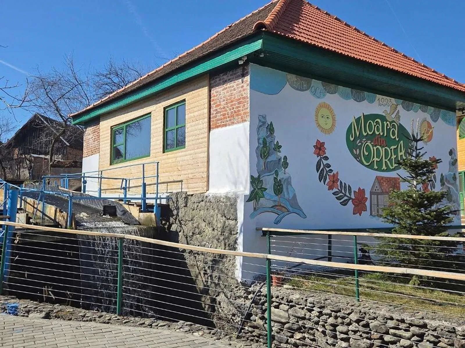
La Casa Morarului Cârţişoara
Pensiune deschisa in anul 2026 Spatiu dedicat familiilor, intim, linistit, cu doar 3 camere, cu o frumoasa curte Locatie: ijn centrul comunei Cartisoara, la 50 m de Muzeul badea Cartan La noi aveti tot ce va este necesar pentru un sejur odihnitor si confortabil
FROM
240 RON / night

Pensiune · 3 stars
Cârţişoara, Cârţişoara County · 0.2 km
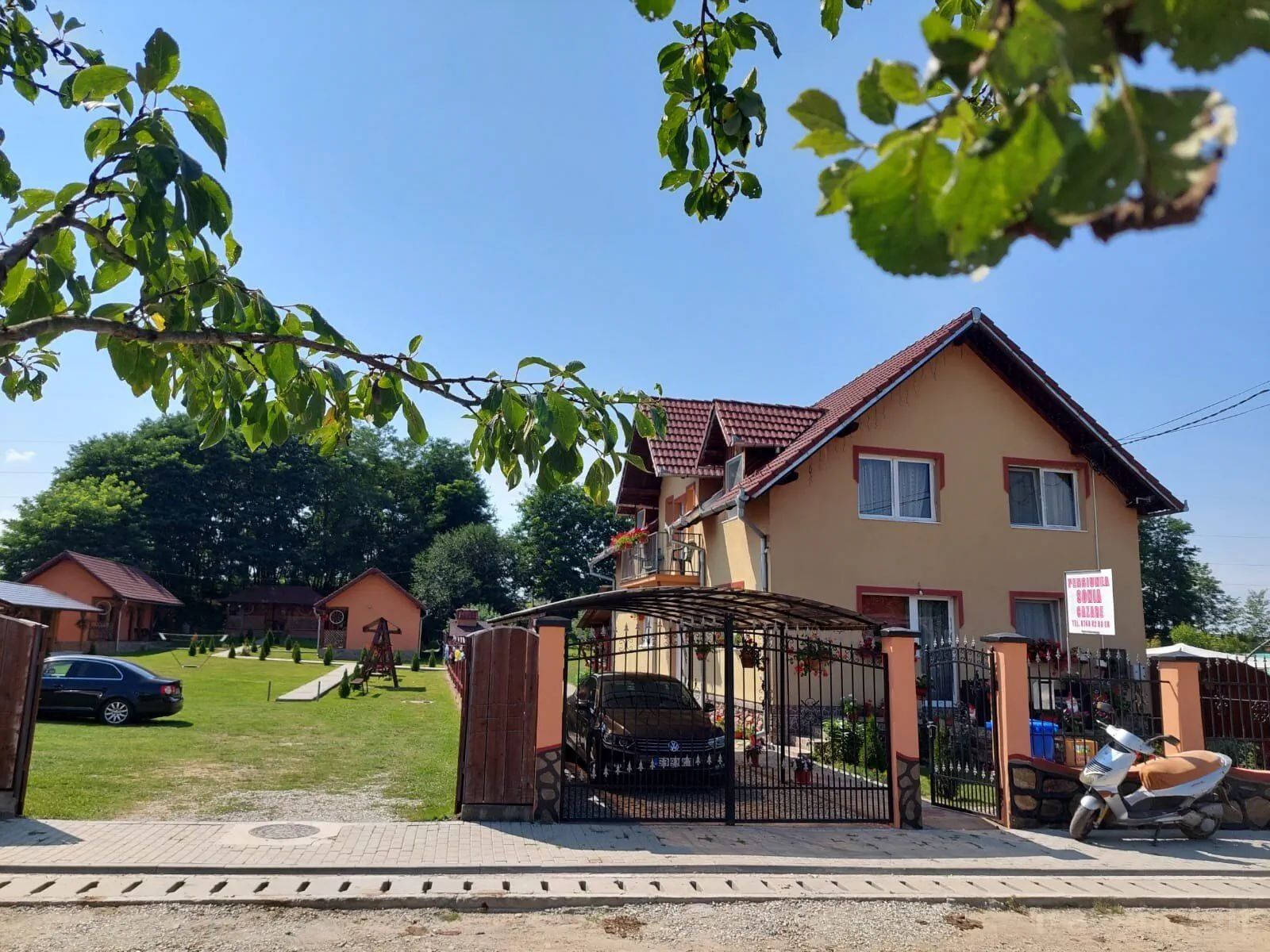
Pensiunea Sonia Cârțișoara
Camere, serviciiPensiunea Sonia Cârțișoara Cârţişoara va intampina cu 4 camere confortabile si placut amenajate. Proprietatea ofera parcare gratuita. Oaspetii pot beneficia de servicii wellness. Pentru detalii cititi pagina de date. Unitatea este prevazuta cu internet wireless. O lista detaliata despre facilitatile unitatii de cazare (inclusiv cele contra cost), cat si despre amenajarea camerelor gasiti in fisa de mai jos. Servicii de masăTarifele camerelor nu includ nici o masa. PlatăPlata o puteti face cu/prin: transfer bancar, card de vacanță, avans travelminit, voucher travelminit. Pentru asigurarea rezervarii este necesar sa achitati un avans de 100%. Sosire, programPrimirea camerei se face incepand cu ora 15:00 si eliberarea camerei se face pana la ora 11:00. Personal vorbitor de limba română.
FROM
240 RON / night
Pensiune · 3 stars
Cârţişoara, Cârţişoara County · 0.2 km
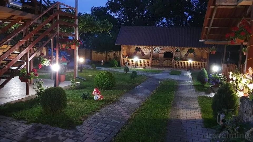
Pensiunea Casa Floare De Colț Cârțișoara
Camere, serviciiPensiunea Casa Floare De Colț Cârțișoara Cârţişoara ofera cazare in 8 camere frumos amenajate. Oaspetii au la dispozitie parcare gratuita. Unitatea va pune la dispozitie internet wireless. Mai multe detalii despre facilitatile oferite de Pensiunea Casa Floare De Colț Cârțișoara (inclusiv cele contra cost), cat si despre dotarile camerelor veti gasi mai jos. Servicii de masăTarifele contin numai cazare. PlatăModalitati de plata acceptate: numerar, card bancar, card de vacanță, avans travelminit, voucher travelminit. Pentru asigurarea rezervarii este necesar sa achitati un avans de 30%. Sosire, programCamera poate fi ocupata de la ora 15:00 iar predarea ei se face pana la ora 11:00 . Limba vorbita la receptie română.
FROM
240 RON / night
Pensiune · 2 stars
Cârţişoara, Cârţişoara County · 0.3 km
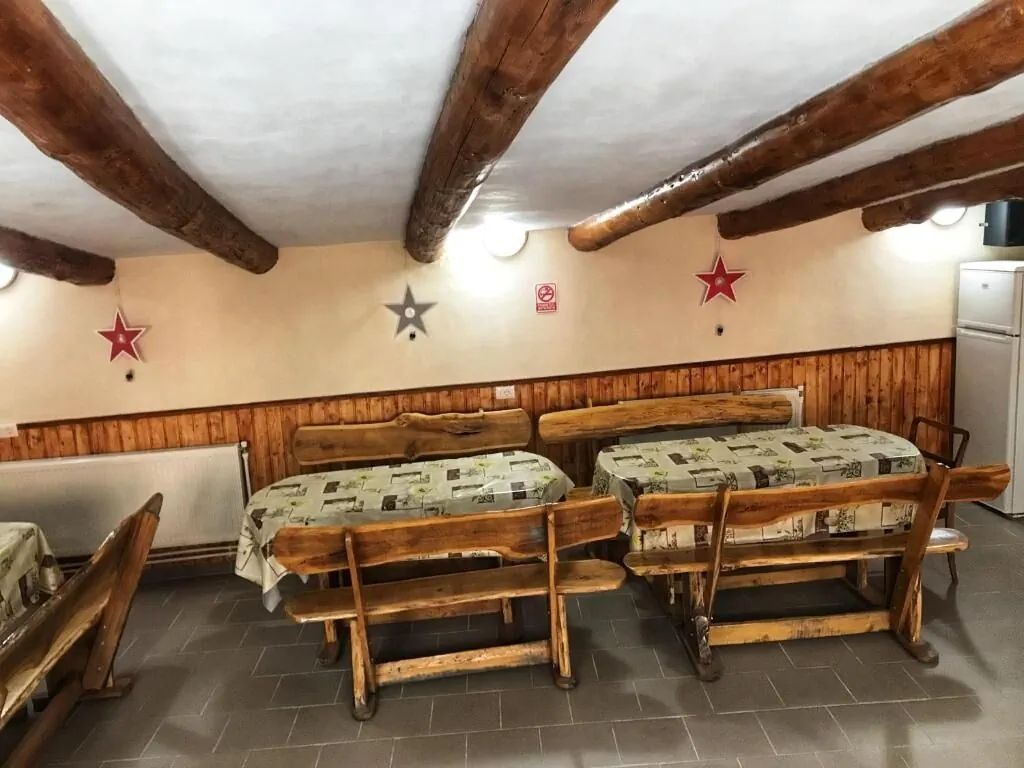
Pensiunea Simone Cârţişoara
Camere, serviciiPensiunea Simone Cârţişoara Cârţişoara dispune de 8 camere mobilate cu gust. Daca doriti sa obtineti mai multe informatii despre serviciile disponibile (inclusiv cele contra cost) in cadrul unitatii de cazare si despre echiparea camerelor, consultati fisa de mai jos. Servicii de masăTarifele contin numai cazare. PlatăPlata se poate efectua prin urmatoarele modalitati: numerar, card bancar, transfer bancar. Pentru finalizarea rezervarii se achita un avans de 30%. Sosire, programIntrarea se face incepand cu ora 14:00 si iesirea pana la ora 11:00. Personalul de la receptie este cunoscator a mai multor limbi: engleză, română.
FROM
190 RON / night
Pensiune · 3 stars
Cârţişoara, Cârţişoara County · 0.3 km
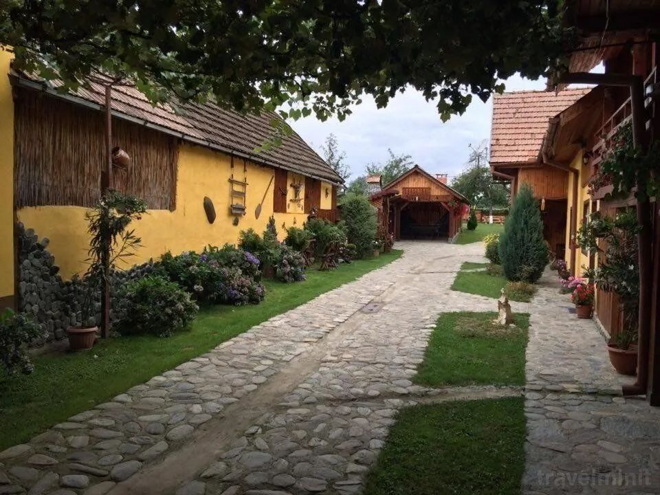
Pensiunea Bujor de Munte Cârțișoara
Camere, serviciiPensiunea Bujor de Munte Cârțișoara Cârţişoara ofera 6 camere dotate cu bun gust. Unitatea va ofera parcare gratuita. Acces la internet wireless este disponibil la pensiune. Fiecare camera are grup sanitar propriu. Mai multe informatii despre serviciile unitatii de cazare (inclusiv cele contra cost) si despre dotarea camerelor gasiti in fisa de mai jos. Servicii de masăPreturile afisate se refera doar la cazare. PlatăPlata o puteti efectua cu/prin: card bancar, transfer bancar, numerar, card de vacanță, card de vacanță, avans travelminit, voucher travelminit. Confirmarea rezervarii se face prin plata unui avans de 30%. Sosire, programZiua hoteliera incepe de la ora 14:00 si se termina la ora 12:00. Limba vorbita la receptie română.
FROM
240 RON / night
Pensiune · 3 stars
Cârţişoara, Cârţişoara County · 0.4 km
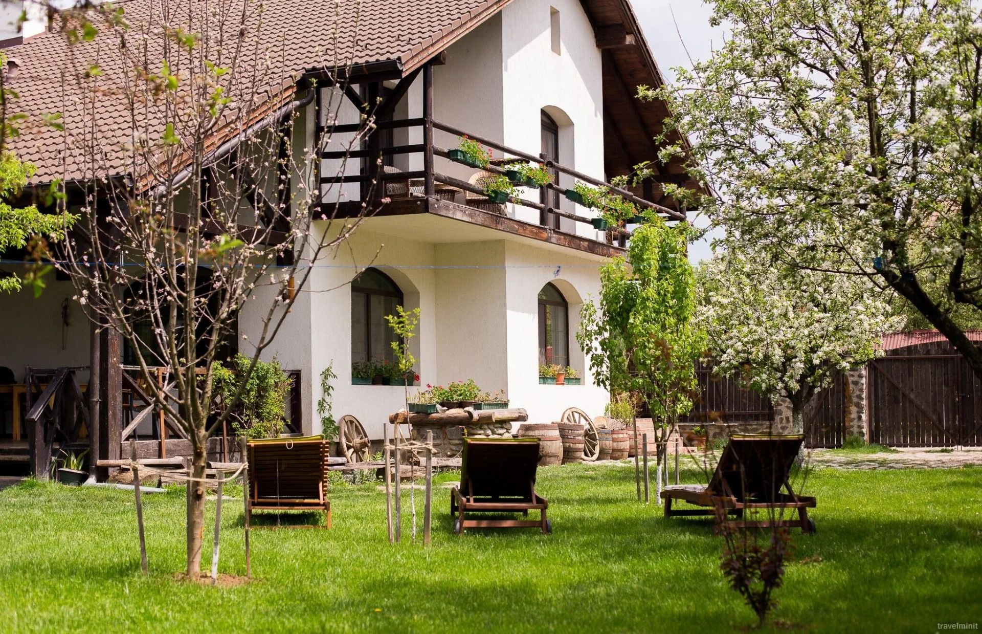
Casa Moșului Transfăgărășan Cârțișoara
Casa Moșului s-a deschis în vara lui 2008. A fost construită într-un sat vechi și plin de povești, Cârțișoara, de unde celebrul călător-țăran, Badea Cârțan, a plecat să vadă lumea asta mare. E făcută din lemn și piatră de-ale locului și e decorată cu obiecte vechi adunate de pe văile Făgărașului.Casa Moșului nu e mare, pentru că noi primim oaspeți, nu turiști. Și pentru că Moșul, gospodar cu păr alb, trebuie să aibă mare grijă de oricine îi trece pragul.Avem sase camere mari și luminoase, cu podele lucioase și paturi moi, numai bune de odihnă și leneveală. În ele se ajunge urcând o scară de bușteni din pădurile Făgărașului.În sufragerie, adesea mocnește focul în șemineu și e-ntinsă o masă mare și bogată, cu cele mai gustoase mâncăruri, gătite de tanti Mariana. Vă așteptăm cu o grădină înflorită, de primăvara devreme până toamna târziu. O grădină în care te poți lungi seara la vorbă ori pur și simplu poți sta în leagăn și asculta greierii. Iarna, găzduim, fără nici un fel de taxă, oricât de mulți oameni de zăpadă în curtea noastră primitoare.
FROM
240 RON / night
BEFORE YOU HIT THE ROAD
Weather conditions in Cârțișoara
Local forecast for Transfăgărășan Highway and Bâlea Lake, Cârțișoara, Sibiu

Real-time updated weather data
Much more to explore in this area
Nearby tourist attractions


Sibiu, Sibiu County
Bâlea Lake
Situat in Muntii Fagaras, la Obarsia Cartisoarei, care se afla la o altitudine de 2.034 metri, langa soseaua Transfagarasan din judetul Sibiu; in perioada...
14.2 km
11.8 km

Sibiu, Sibiu County
ASTRA Museum of Traditional Folk Civilization
Situat pe Calea Rasinari din localitatea Sibiu; este un muzeu in aer liber; a fost organizat cu incepere din anul 1963, sub denumirea de Muzeul Tehnicii...
35.7 km

Sibiu, Sibiu County
Bâlea Lake Resort
Situata in aria comunei Cartisoara din masivul Fagaras; se intinde pana la altitudinea de 2.500 m; include relieful alpin, lacul, flora si fauna din circul...
0.2 km

Brașov, Brașov County
Black Church of Brașov (Evangelical Fortified Church Ensemble)
Heritage site in Braşov County, Romania
40.1 km

Sibiu, Sibiu County
Biertan Fortified Church
Situata in localitatea Biertan; construita pe locul unei alte biserici, intre 1492-1516, in stil gotic tarziu, cu elemente de arhitectura renascentista in...
45.5 km

45.5 km

Sibiu, Sibiu County
Biserica Parohială Evanghelică Sfânta Maria din Sibiu
Situata in Piata Huet, localitatea Sibiu; a fost ridicata in secolul al-XIV-lea, pe locul unde exista o veche biserica inca din secolul al-XII-lea; cladirea...
33.8 km

Sibiu, Sibiu County
Muzeul Brukenthal
Situat in Piata Mare nr.4-5; colectiile baronului von Brukenthal au luat nastere in principal intre anii 1759-1774, perioada pe care acesta a petrecut-o la...
33.7 km

42.8 km

Sibiu, Sibiu County
Biserica Fortificată din Valea Viilor
Situata in localitatea Valea Viilor; a fost construita in secolul al XII-lea, urmand sa fie fortificata in secolul al XV-lea si al XVI-lea; inconjurata de o...
45.8 km

Sibiu, Sibiu County
Biserica Evanghelică Fortificată din Cisnădie
Situata pe strada Cetatii nr.1-3, localitatea Cisnadie; construita in secolul al XIII-lea; fortificata dupa atacul turcesc din 1493: turnul central a fost...
32.8 km
Cultural life and traditions
Events near Transfăgărășan Highway and Bâlea Lake
Medieval festivals, traditional fairs, concerts and recommended local activities in Transylvania.

Patrimoniu și Istorie

Cârțișoara, Jud. Sibiu
Festivalul Cetăților Medievale și Zilele Porților Deschise
Tururi ghidate nocturne, ateliere de meșteșuguri tradiționale și reconstituiri istorice cu cavaleri și domnițe.
WHEN
15 - 17 Mai 2026

Tradiții și Gastronomie
Cârțișoara, Jud. Sibiu
Târgul Tradițiilor Săsești și Gastronomie Locală
Descoperă producătorii locali, plăcintele săsești coapte pe vatră, siropurile artizanale și dulceața de rubarbă.
WHEN
În fiecare weekend (Mai - Octombrie)

Ecoturism și Natură
Colinele Transilvaniei, Jud. Sibiu
Drumeții Ghidate pe Traseul Colinele Transilvaniei
Excursii pe poteci nemarcate printre fânețe seculare, stejari multiseculari și sate cu biserici fortificate UNESCO.
WHEN
Vineri - Duminică (Sezon 2026)
On foot, exploration gains depth
Discover the surroundings and local geography
Explore trails, terrain and natural landmarks around Transfăgărășan Highway and Bâlea Lake.

Guides and practical tips
Useful travel articles
Travel guides, practical tips and itineraries for Transylvania.

Travel guide
Top 5 Atracții Turistice și Trasee Montane în Zona Moieciu - Bran
Descoperă cele mai spectaculoase peisaje carstice, chei adânci și cetăți medievale din imediata apropiere a stațiunii Moieciu.

Travel guide
Ghid de Drumeție: Traseul Moieciu de Sus spre Platoul Bucegi
Un itinerariu montan de o frumusețe rară ce urcă din Valea Băngăleasa spre Poiana Guțanu și crestele maiestuoase ale Bucegilor.

Travel guide
Castelul Bran: Istorie, Legende și Secrete Medievale
Află adevărata poveste a fortăreței medievale din Pasul Bran, reședința de suflet a Reginei Maria a României.
THE JOURNEY STARTS WITH AN IDEA
The next story is on the way.
From the first stop to the last stay, make room for a new Romania.
